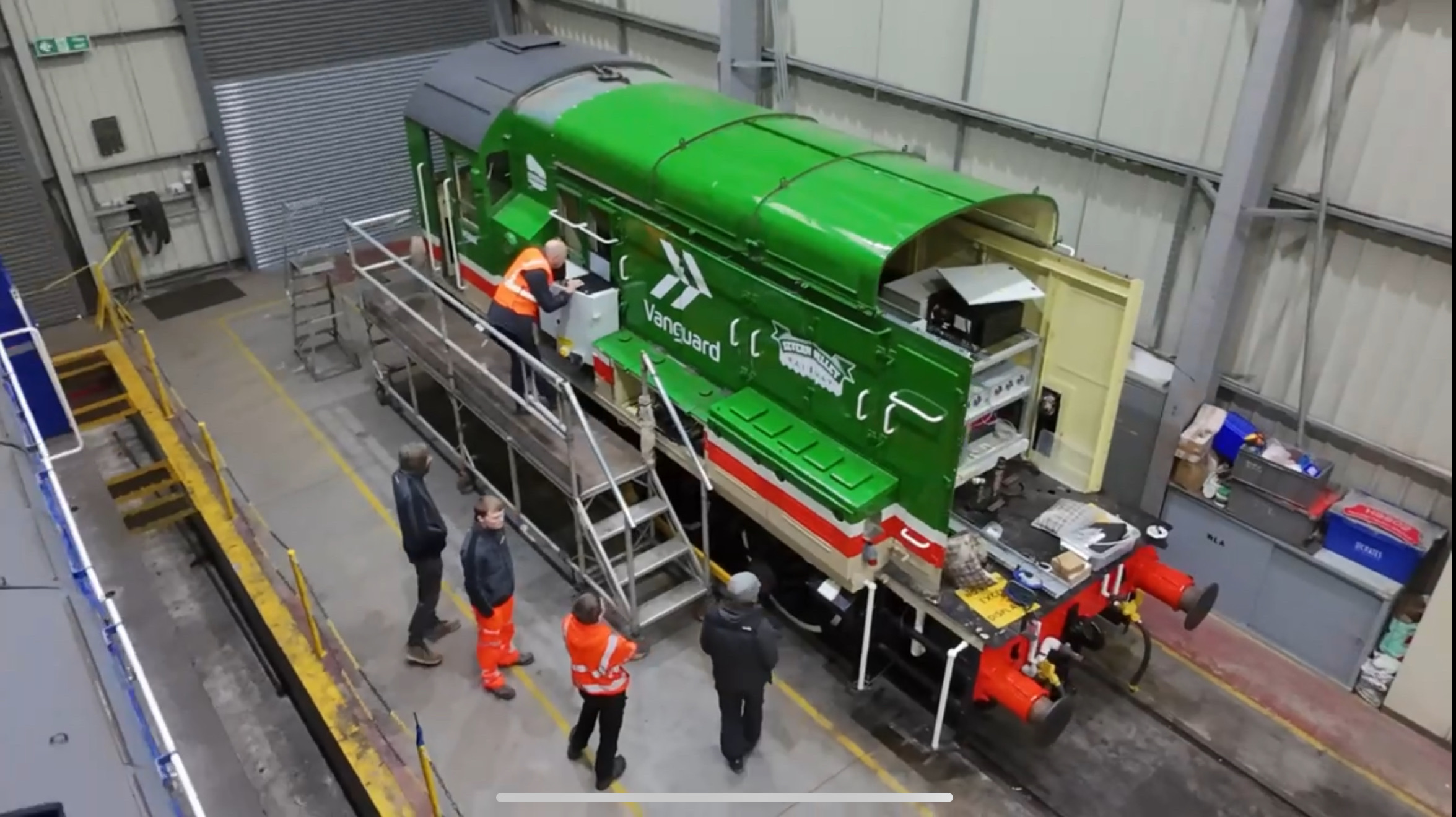
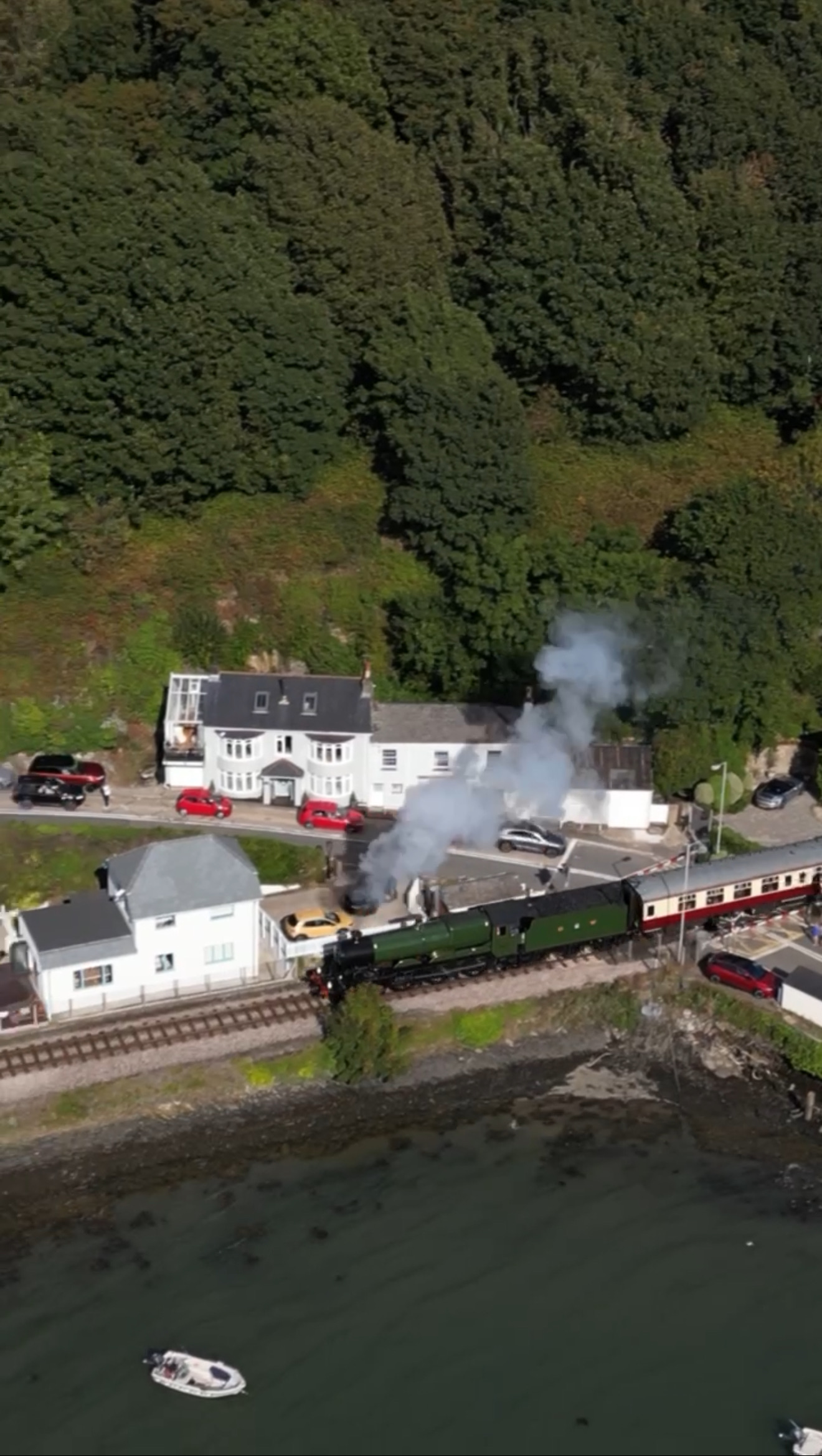
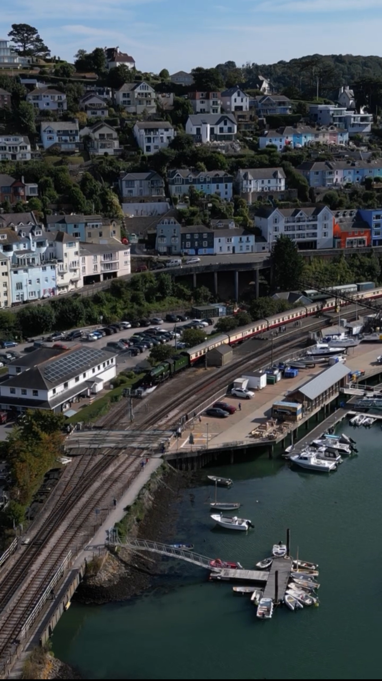
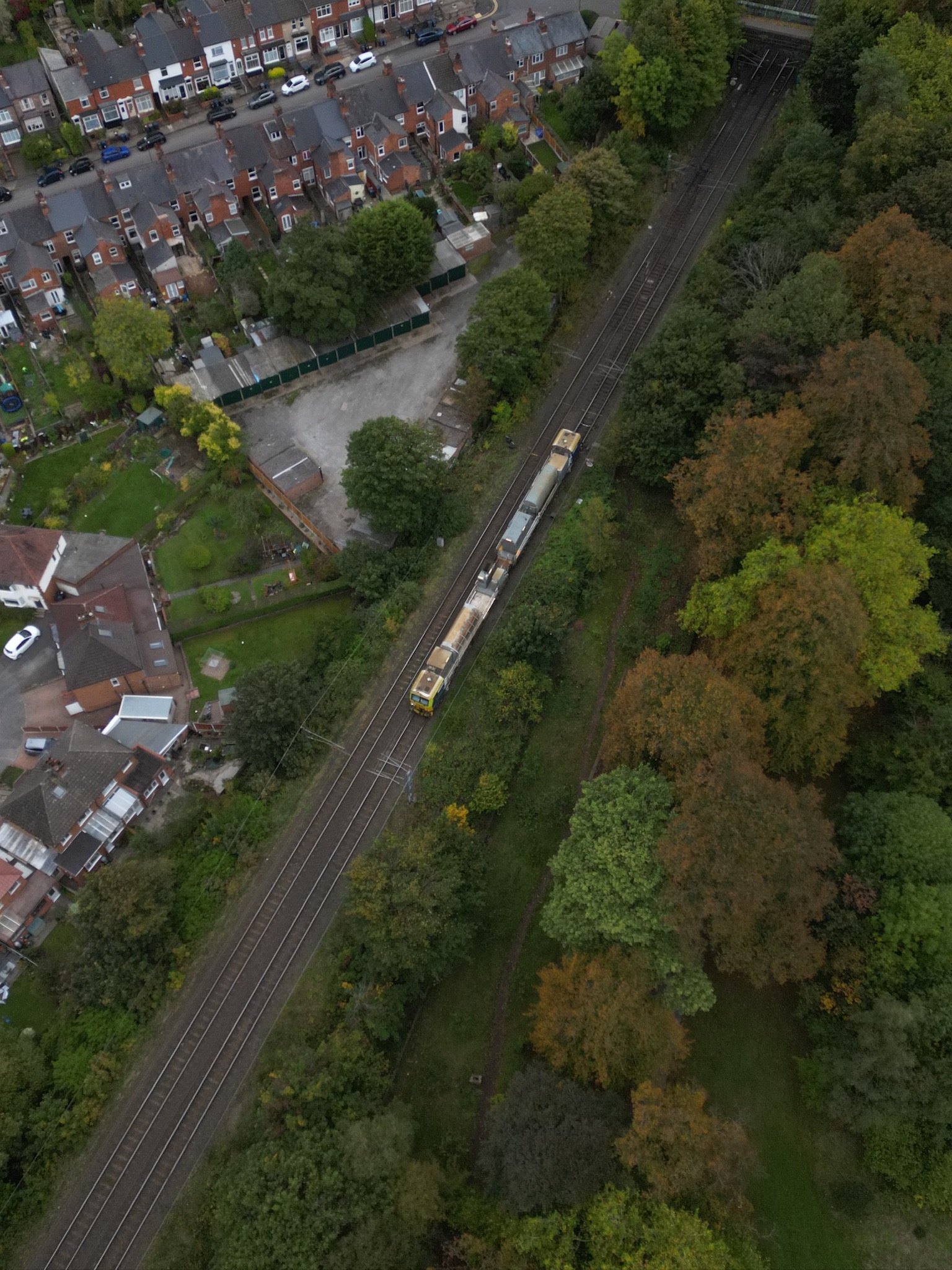
Capturing Railways from New Heights
At Altair Horizons, we specialise in railway infrastructure monitoring and aerial photography services. We use the latest drone technologies to provide either specialist infrastructure services and data-driven solutions, or simply stunning photography, to our customers. Our mission is to use the opportunities provided by the latest drone technology to help clients maintain, upgrade, and operate the UK’s rail infrastructure safely and sustainably.
Services
Railway infrastructure monitoring
Bridge & structure inspections
Track corridor mapping
Vegetation monitoring
Thermal imaging for asset health
Aerial Photography / Media
High-quality imagery for reports, presentations, and marketing
Video capture for project milestones and stakeholder engagement
Data + Insights
2D & 3D mapping (photogrammetry, LiDAR integration)
Condition assessments & change detection
GIS-ready datasets for planning & engineering
About Us
At Altair Horizons, we harness advanced drone technology to deliver accurate, safe, and cost-effective insights for the rail industry. From structural inspections to aerial photography, our services help operators and contractors keep the network resilient, efficient, and future-ready.
With a focus on quality, safety, and professionalism, we are building a reputation for reliable service and stunning visuals that inform and engage.
Contact Us
Send us an email – altairhorizons@gmail.com